Rail Issues
If you would like to get the feel of what a slow ride was like a few years ago on the Santa Cruz Branch Line, watch the video at the right (or below if you're using a mobile device). It is the first of twelve—a playlist—taken from the set of 32 made by Dave Wright of Friends of the Rail & Trail on December 1, 2011.
Try it in the fullscreen mode.
Cliff Walters drove the train. The camera was mounted on the front of a flat car in front of the engine. You may notice that at some street crossings (e.g., at the Seabright Avenue crossing in Milepost 19-20), the train stops and a flagman (Wes Swift) walks into the intersection to stop the traffic, since the gate fails to function. (This happens when the tracks are rusty. After the train runs over the tracks the gates work fine again.)
The RTC purchased the Rail Corridor in 2012
On October 12, 2012, the Santa Cruz County Regional Transportation Commission, completing a process that has lasted for over two decades, closed escrow on the purchase of the 31-mile Santa Cruz Branch Line from Union Pacific. Here is a report posted on the RTC's website.
The mood was celebratory, and over the weekend of November 16-18, a number of events took place, with crowds of appreciative folks showing up. Sandy Lydon provided a fine lecture on the railroad history in our county to a packed hall at Cabrillo. Iowa Pacific Holdings was chosen to be the freight operator on the line. They created the Santa Cruz and Monterey Bay Railway, and operated a seasonal run (the Train to Christmas Town) during succeeding winter seasons.
The building of a “Rail Trail” is underway
The MBSST Master Plan and an overall description
Coordinated by our Regional Transportation Commission, a planning and public outreach process for the Monterey Bay Sanctuary Scenic Trail Network (MBSST) was begun. Taking 2.5 years, this process resulted in a Master Plan for the MBSST. This award-winning plan was adopted on November 7, 2013 and amended in February 2014. It is posted on the website of our Regional Transportation Commission. Click here to read it.
As of June, 2014, there were 217 rails-with-trails in the United States (including 32 in California), totaling more than 2,200 miles, and more are being built each year. They are extremely safe, and very popular. For a detailed list of rails-with-trails, see this pdf on the website of the Rails-to-Trails Conservancy.
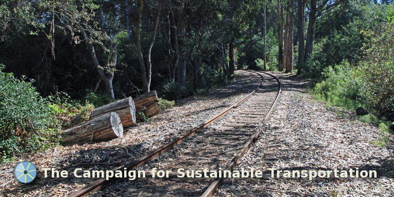
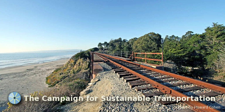
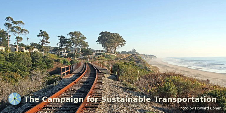
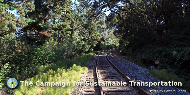
Our rail corridor extends for 32 miles, from Davenport at the north end to the Pajaro Junction—just over the Monterey County line from Watsonville—at the south end. The trail is planned to be built in 20 segments. An overall description of the MBSST, with information about current projects now underway, may be found here. On this page is also a list ofFrequently Asked Questions – Rail and Trail. The rail right of way passes within 1 mile of half of the County's population and will provide access to44 schools and 92 parks (see map). Several segments are funded, and are on their way to be completed. 13 miles out of the total 32 miles are now funded and underway.
Construction is about to begin for Segment 7
Segment 7, which extends 2.1 miles from Natural Bridges Drive to the wharf at Beach Street in Santa Cruz, will be the first segment to be constructed, with groundbreaking scheduled for early 2018. It is expected to be completed before the end of the year. See this page for details.
Moreover, it has recently been determined that the trail route over the mouth of the San Lorenzo River can be attached (cantilevered) to the existing rail trestle, and so will not require a more expensive separate bridge, as was earlier thought. Its construction is also expected to begin (and maybe completed) in 2018. The existing walkway on the trestle is too narrow, but nevertheless even now attracts large numbers of pedestrians and bicyclists. The newly-planned reconstruction will result in a wider bridge.
A population density map
One key issue concerns whether population densities along the Santa Cruz Branch Rail Line are high enough to support passenger rail service along the line. The answer is yes. To find out more, have a look at our new Population density map.
NOTE: We are expecting to update this section soon, to add additional material regarding possible future scenarios for use of the rail corridor. So stay tuned.